
Navigation: map, compass, and GPS
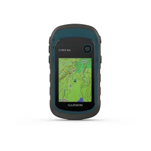
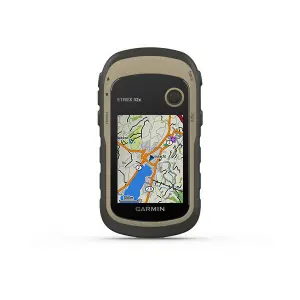
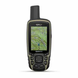
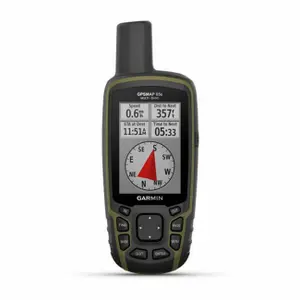
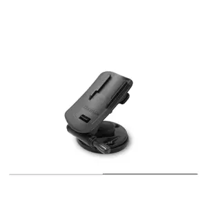
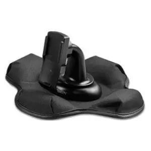
The Navigation page for hiking brings together compasses, map holders and accessories to help you find your way on the trails, alongside topographical maps and GPS watches: everything you need to read the terrain, keep your bearings in the fog, and have a backup solution when your phone battery dies in the mountains.
Knowing where you are, even in the fog.
Reading a Topographical Map
The 1:25,000 map, where one centimetre represents 250 metres on the ground, is the reference for hikers in France, and its series cover the entire territory. Its contour lines connect points of the same altitude, often spaced ten metres apart in elevation: close together, they indicate a steep slope, while spaced apart, they denote flat land, and their shape outlines the cols, ridges, and valleys. You can also find marked trails, springs, shelters, and wooded areas. A map folds into a map case that is waterproof, allowing you to consult it in the rain without it tearing at the creases.
The Base Plate Compass
The compass with a base plate, invented in Sweden at the end of the 1920s and then equipped with a liquid-filled casing that stabilises the needle in a few seconds, indicates magnetic north and allows you to follow a bearing even without a visible landmark. It is used with the map: you measure the angle between your position and your destination, transfer it to the dial, and then follow this bearing on the ground by aiming at a distant landmark. It doesn’t rely on any batteries, making it an essential tool for emergencies. Keep it away from metallic objects, bag magnets, and your phone, as these can interfere with the needle.
Altimeter and GPS
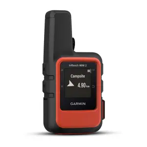
The altimeter, often built into hiking watches, measures air pressure to estimate altitude: when reported on the trail's contour line, it indicates the hiker's location, provided it is recalibrated at benchmark points, as it can drift when the weather changes. The GPS, on a watch or phone, shows your exact position and follows a pre-planned route. However, a battery can run out, particularly in cold weather: you should always carry a map and a compass and know how to use them. Orienteering, with its checkpoints to find, is a good way to learn while having fun.
Other Accessories
Navigating is complemented by fitness watches and GPS devices, water bottles, caps, hats and beanies, knit hats, headbands, neck gaiters, balaclavas, all found on the accessories page.
Good Deals and News
The new arrivals feature the latest collections, the discounts show reduced-price items, and the clearance includes end-of-line products. Items shipped in 24 hours are prepared and sent within 24 hours.
Frequently Asked Questions
What is magnetic declination?
It's the difference between magnetic north, indicated by the needle, and the geographical north of the map. In mainland France, it doesn’t exceed a few degrees and is often negligible while hiking, but it is corrected elsewhere in the world.
How to orient a map with a compass?
Place the compass on the map, align its edge with a meridian, then turn the whole thing until the needle points to the north of the map: the landscape and the paper will then be aligned.
How not to get lost in the fog?
Before heading out, note the bearings between the key points of your route. In fog, follow the bearing on the compass from one nearby landmark to another, count your steps to estimate distance, and turn back if the trail disappears.
What to do if you are lost in the mountains?
Stop and return to the last known point by retracing your steps. Look for a landmark on the map, like a peak, lake, or stream, and if in danger, call 112, which can be reached even without your operator's network.
Do you need a compass with a mirror for hiking?
The mirror allows you to aim at a landmark and read the dial at the same time for a more accurate bearing, and it can also be used to signal your position. For hiking on marked trails, a simple base plate compass is sufficient.